The Longmont-to-Boulder (LoBo) Regional Trail is a 12-mile trail system that runs through Gunbarrel, Niwot, and open space properties connecting the City of Boulder with the City of Longmont.
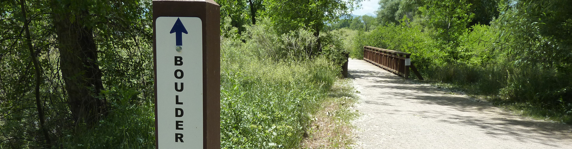
Longmont-to-Boulder (LoBo) Regional Trail
| Trails |
|---|
LoBo Trail     ~12 miles – Easy |
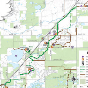
Parking
- Cottonwood Trailhead (City of Boulder)
- Lefthand Creek Park (City of Longmont)
- Lefthand Valley Grange
- Monarch Trailhead
- Niwot Trailhead
- Twin Lakes Trailhead
Restrooms
- Lefthand Valley Grange Trailhead
- Niwot Trailhead (seasonally)
Keep in Mind
- Regional trails and regional trail connectors are open to commuters 24 hours per day. Trailheads close at sunset and parking is not allowed between sunset and sunrise.
- Unauthorized motor vehicles are prohibited including scooters and mopeds.
- E-bikes are allowed except on a short signed area near Twin Lakes open space (HOA restrictions).
- Stay on the designated trail as private property borders the trail in several places.
- There are several areas where you need to use on-street connections.
Mammals
- Coyote
- Mule deer
- Racoon
- Red fox
Insects
- Cabbage white
- European mantis
- Sachem
Reptiles
- Bull snake
- Common snapping turtle
Birds
- American kestrel
- Barn swallow
- Belted kingfisher
- Great horned owl
- Killdeer
- Northern flicker
- Northern harrier
- Red tailed hawk
White Wildflowers
- Common yarrow (Achillea millefolium)
- Cut leaf nightshade (Solanum triflorum)
- Thistle poppy (Argemone polyanthemos)
- Wild licorice (Glycyrrhiza lepidota)
Pink & Purple Wildflowers
- Penstemon (Penstemon spp.)
- Rocky Mountain bee plant (Cleome serrulata)
Yellow Wildflowers
- Common evening primrose (Oenothera biennis)
- Prairie sunflower (Helianthus petiolaris)
Planning for this trail system linking Boulder and Longmont began in 2003. Currently there are 12 miles of trail available with ongoing projects to extend the trail further. The only link remaining that is not currently under construction is a piece that will link Jay and Spine roads.
See the list of completed trails sections and current and future projects on the LoBo Regional Trail Project Page.